What it does
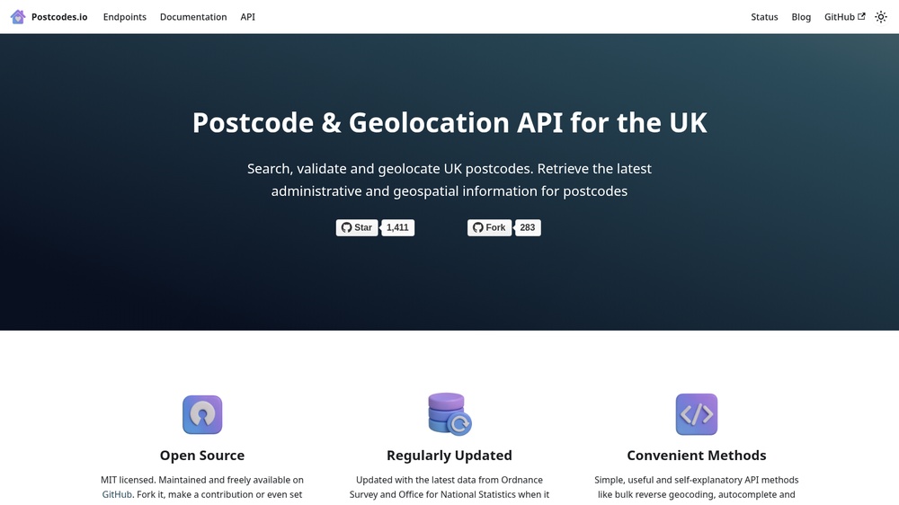
Postcodes.io is a free and open source API for UK postcodes, based on open data from the Office for National Statistics and Ordnance Survey. Look up and validate postcodes, get their coordinates and administrative areas (district, ward, constituency), find the nearest postcodes to a point, and autocomplete partial postcodes. Bulk lookups are supported. Responses are JSON and no key is needed.
More information: https://postcodes.io/