
OpenRouteService
by giscience.github.io
Location Information
Added on October 31st, 2026
Checked and working on November 16th, 2026
Visit giscience.github.io →
What it does
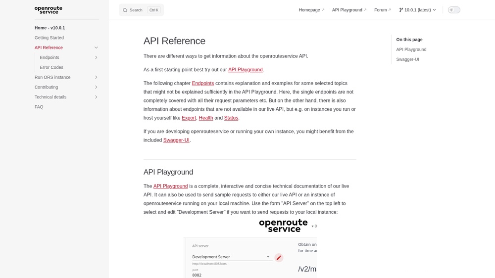
OpenRouteService, built on OpenStreetMap data, offers route planning for car, truck, bicycle, walking and wheelchair, travel-time areas (isochrones), distance matrices, geocoding, elevation and route optimisation. Responses are JSON or GeoJSON. Free plan with a free API key and daily limits per service; open source, so you can also host it yourself.
At a glance
- API key
- Needed, free · More APIs with a free key
- Pricing
- Free plan with a free API key and daily limits per service; open source, so you can also host it yourself.
- Formats
- JSON
- Interface
- REST, HTTP-GET
- Provider
- giscience.github.io
- Last checked
- Working on November 16th, 2026
More information: https://giscience.github.io/openrouteservice/api-reference/
Compare: OpenRouteService vs OSRM demo server
Used in: Add address autocomplete and route planning with free APIs
Is this your service? Show that it is listed
Put this badge on your website or in your README; it links to this page. About the badge

Example request
curl
curl 'https://api.openrouteservice.org/geocode/search?api_key=YOUR_API_KEY&text=London'JavaScript
const response = await fetch("https://api.openrouteservice.org/geocode/search?api_key=YOUR_API_KEY&text=London");
const data = await response.json();
console.log(data);
Python
import requests

response = requests.get(
    "https://api.openrouteservice.org/geocode/search?api_key=YOUR_API_KEY&text=London",
    timeout=30,
)
print(response.json())
Replace YOUR_API_KEY with your own key.