
USGS Water Data API
by api.waterdata.usgs.gov
Energy and environment
Added on November 7th, 2026
Checked and working on November 7th, 2026
Visit api.waterdata.usgs.gov →
What it does
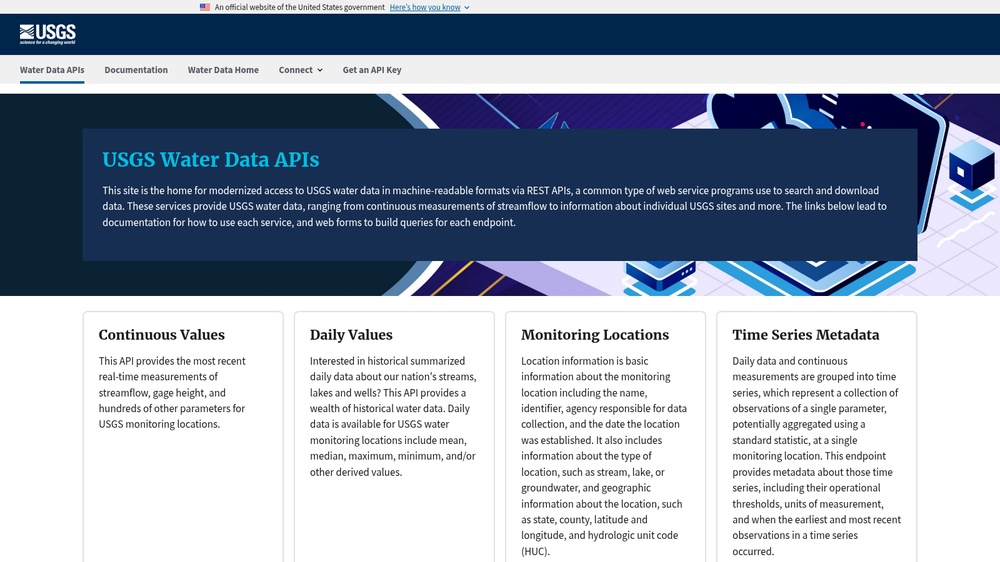
The USGS Water Data API gives water data for the United States: monitoring locations on rivers, lakes and wells and their measurements, such as streamflow and water levels, for example to show the current flow of a river. It follows the OGC API standard and returns GeoJSON. Free, no key needed; a free api.data.gov key raises the rate limit.
At a glance
- API key
- Not needed · More APIs with no key
- Pricing
- Free, no key needed; a free api.data.gov key raises the rate limit.
- From the browser
- Yes (CORS)
- Formats
- JSON
- Interface
- REST, HTTP-GET
- Provider
- api.waterdata.usgs.gov
- Last checked
- Working on November 7th, 2026
More information: https://api.waterdata.usgs.gov/
Is this your service? Show that it is listed
Put this badge on your website or in your README; it links to this page. About the badge

Example request
curl
curl 'https://api.waterdata.usgs.gov/ogcapi/v0/collections/monitoring-locations/items?limit=1&f=json'JavaScript
const response = await fetch("https://api.waterdata.usgs.gov/ogcapi/v0/collections/monitoring-locations/items?limit=1&f=json");
const data = await response.json();
console.log(data);
Python
import requests

response = requests.get(
    "https://api.waterdata.usgs.gov/ogcapi/v0/collections/monitoring-locations/items?limit=1&f=json",
    timeout=30,
)
print(response.json())
The JavaScript works in a web page as well as in Node.js 18 or newer.